Walking the Wealth Gap: What a Single Cross-Town Route Tells You About American Inequality
There's a walk you can do in almost any American city. It doesn't require a guidebook, a tour group, or even a destination. You just pick a direction — usually east-to-west, or from downtown outward — and you keep going until the city changes on you. And it will change. Sometimes gradually, sometimes in a single block. But it always changes.
This is what we'd call the economic transect walk. It's one of the most revealing things you can do in any city you're visiting — or even in the city where you've lived for years. Because what you notice on foot, at three miles per hour, is something no map, no data visualization, and no drone flyover can fully capture: the texture of inequality.
The Moment the Sidewalk Changes
Start in a well-funded neighborhood. Notice the sidewalks. They're probably wide, recently poured, and mostly intact. There are curb cuts at every corner. The streetlights are newer. Maybe there are decorative planters, or one of those little free library boxes outside someone's house.
Now keep walking. At some point — and pay attention, because it's easy to miss — the concrete starts telling a different story. The slabs buckle. Tree roots have pushed up through the pavement and nobody's fixed it. The curb cuts disappear or become uneven. The streetlights get older, sometimes burned out. These aren't accidents. They're the physical record of where municipal budgets get spent and where they don't.
Public infrastructure maintenance is one of the most honest economic indicators a city produces, and it's all right there under your feet.
Reading Storefronts Like a Balance Sheet
The businesses along your route are equally revealing. In higher-income stretches, you'll typically find a mix of independent boutiques, coffee shops with handwritten menus, and restaurants with small plates and big prices. The signage is professional. The windows are clean and curated.
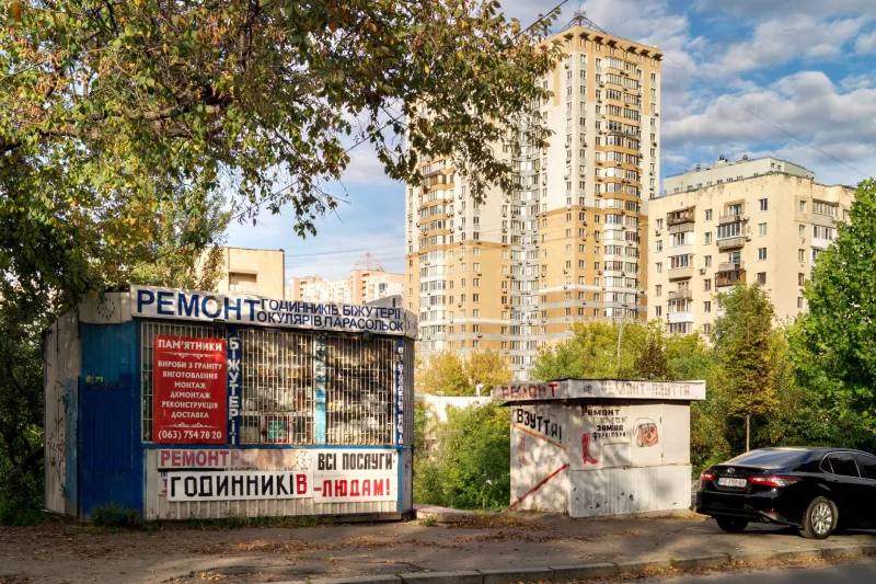
As you move through transitional zones, the commercial landscape shifts. National dollar-store chains start appearing. Check-cashing storefronts and payday lenders cluster at corners. Laundromats replace dry cleaners. Fast food replaces farm-to-table. None of this is inherently bad — these businesses exist because people need them — but their concentration in specific corridors is a direct reflection of disposable income, access to credit, and the degree to which larger retail investment has written off entire zip codes.
Look also at what's missing. Grocery stores. Pharmacies. Banks with actual branches. The absence of these things is its own kind of data.
Architecture as Economic Autobiography
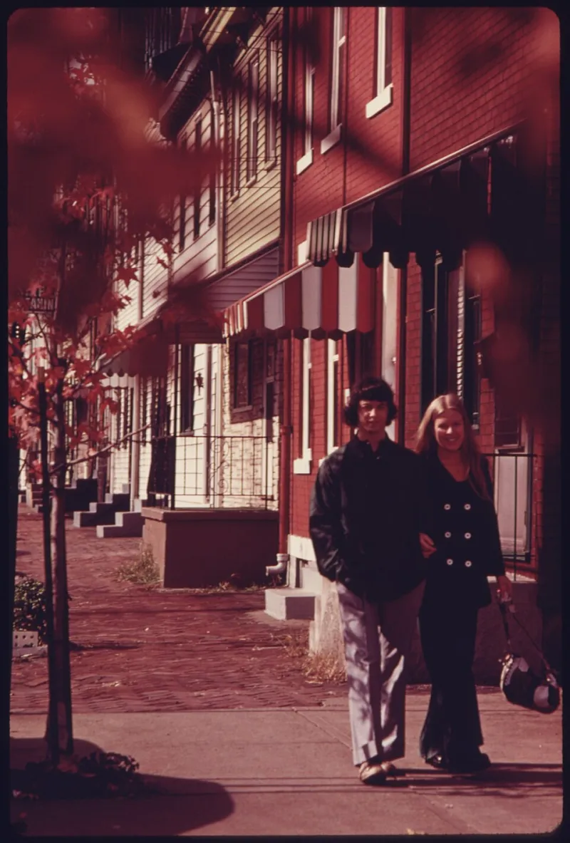
Buildings don't lie about money. They can't. Deferred maintenance accumulates visibly: peeling paint, boarded windows, sagging porches, crumbling brick facades held together with mismatched mortar. In neighborhoods where property values have stagnated or declined, owners often lack both the incentive and the resources to invest in upkeep.
But there's a more complicated story in the middle zones — the transitional blocks where older, deteriorating housing sits directly next to freshly flipped properties with new Hardie board siding and a Ring doorbell. These are the edges of gentrification, and walking them is a genuinely strange experience. You're watching two economic forces operating simultaneously on the same street: disinvestment that's been grinding away for decades, and speculative investment that arrived recently and fast.
Pay attention to the For Rent signs. Notice whether they list prices. In higher-demand areas, they often don't — landlords know they can fill units without advertising. In softer markets, the signs stay up longer and the prices are visible, sometimes handwritten.
Green Space and the Geography of Rest
One of the starkest divides you'll encounter on a cross-town walk is access to parks and green space. Wealthier neighborhoods tend to have more of it, better maintained, with working equipment, shade trees, and sometimes amenities like splash pads or fitness stations. These are places people actually use.
In lower-income corridors, public green space often exists on paper — a patch of city-owned land designated as a park — but in practice it might be an unmowed lot with a single broken bench and a faded sign. The message, unintentional or not, is that some residents deserve places to rest and some don't.
When you're walking and you need to sit down, notice how easy or hard that is depending on where you are. Public seating, shade, water fountains — these are small things that add up to a neighborhood's basic livability.
The Invisible Line You Cross Without Knowing It
Here's the thing about economic boundaries in American cities: they're rarely marked. There's no sign that says "you are now entering a neighborhood that receives 40% less city services per capita." The transition happens through accumulation — a slower pace of repair here, a thinner canopy of street trees there, a longer gap between bus stops, a darker stretch of sidewalk at night.
Sometimes the line is a highway. Robert Moses famously used infrastructure to wall off communities, and those walls are still standing in cities from New York to New Orleans. Sometimes it's a train track, or the back end of a commercial district, or just an invisible boundary that real estate agents have been drawing on maps for generations.
Walk long enough and you'll cross it without even realizing — and then you'll look back and try to pinpoint exactly where it happened.
Why You Should Do This Walk in Your Own City
If you live somewhere and you haven't done a deliberate cross-town walk, you might not actually know your city. Not really. We tend to move in loops — home to work to the places we already like — and those loops can insulate us from the full picture of the place we live.
Picking a direction and walking until something changes is uncomfortable in the best possible way. It puts economic geography in your body rather than on a screen. It makes inequality concrete — literally, in the condition of the pavement.
You don't have to be an urban planner or a policy wonk to read what a city's streets are saying. You just have to be willing to walk far enough to hear the whole conversation.
Bring water. Wear comfortable shoes. And pay attention to the sidewalk. It knows more than you think.