Block by Block: Walking America's Invisible Borders and What You Find on the Other Side

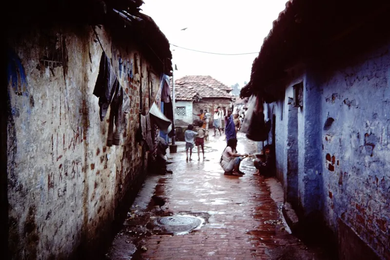
Photo: Rhododendrites, CC BY-SA 4.0, via Wikimedia Commons
There's a specific feeling that comes from crossing a certain kind of street in an American city. The sidewalk quality changes. The tree canopy thins out or suddenly appears. The businesses shift from chains to independents, or the other direction. The buildings get older, or newer, or more boarded up. You haven't crossed a river or a county line. You've crossed something harder to see on a map—and harder to talk about.
America's cities are threaded through with invisible borders. Some of them are remnants of official policy. Others are the accumulated result of private decisions, lending practices, and infrastructure choices made over generations. All of them are still legible if you know how to look.
Walking is one of the most direct ways to read them.
The Lines That Were Actually Drawn
Between the 1930s and the 1960s, the federal government's Home Owners' Loan Corporation produced detailed maps of American cities, color-coding neighborhoods by their perceived investment risk. Green meant safe. Red meant hazardous. The hazardous designation was applied, with remarkable consistency, to neighborhoods where Black Americans lived—regardless of the actual condition of the housing stock.
Those maps don't govern lending anymore, but their effects didn't disappear when the policy did. Neighborhoods that were redlined received less investment for decades. Infrastructure aged without replacement. Businesses left. Schools lost funding tied to property values that never climbed. The physical environment that resulted from those decisions is still standing in many American cities.
You can download digitized versions of these maps from the University of Richmond's Mapping Inequality project. Pull one up for your city. Then go walk the boundaries.
"The line between a formerly redlined neighborhood and a formerly 'green' neighborhood is sometimes just a street," says Dr. Leah Holloway, an urban historian based in Baltimore who leads community walking tours focused on housing policy. "And when you stand on that street, you can often still see the difference in the housing stock, the sidewalks, the trees. Policy made that physical difference. That's important for people to understand in their bodies, not just their heads."
What You're Actually Looking At
When you walk these boundaries with awareness, certain details start to organize themselves into a coherent story.
Sidewalk quality is one of the bluntest indicators. Municipalities have historically invested more in pedestrian infrastructure in wealthier, whiter neighborhoods. Cracked, narrow, or absent sidewalks in a neighborhood adjacent to well-maintained ones aren't a coincidence—they reflect decades of unequal maintenance budgets.
Tree canopy follows a similar pattern. A 2021 study published in npj Urban Sustainability found that formerly redlined neighborhoods in American cities have significantly less tree cover than non-redlined areas. Trees aren't just aesthetic; they reduce heat, improve air quality, and signal long-term investment. Their absence is a data point.
Commercial strip changes can mark a transition zone. Look for the shift from national chain stores (which require creditworthy, stable real estate to sign leases) to check-cashing outlets, dollar stores, and vacant storefronts. That shift often corresponds closely to economic boundary lines.
Infrastructure age is another tell. Older water mains, older electrical lines, older street furniture. These aren't just signs of a neighborhood's age—they're signs of when investment stopped.
The Ethics of Showing Up
This is where walking as exploration gets complicated, and it's worth sitting with the discomfort rather than skipping past it.
There's a version of "urban exploration" that treats economically distressed neighborhoods as content—something to photograph, post, and move on from. It reduces real communities to aesthetic backdrops for someone else's curiosity. That's not what we're talking about here, and it's worth being honest about the difference.
"People come through here with their cameras and their podcasts and they want the 'authentic' experience," says Marcus Webb, a community organizer in North Memphis who has spent years working on neighborhood reinvestment. "But authentic to who? The people who live here aren't exhibits. When someone walks through and doesn't interact, doesn't spend any money, doesn't connect with anyone—what are they actually learning? They're just consuming poverty."
Webb's challenge is worth taking seriously. Walking through a neighborhood you don't belong to is not inherently educational. What you do while you're there, and what you do after, determines whether it means anything.
Some practical ways to engage more responsibly:
- Spend money locally. If you're walking through a neighborhood, stop at a local business. Buy something. This is the simplest form of participation.
- Learn before you arrive. Read local journalism. Look up neighborhood associations. Understand something about the specific history of the place you're walking through before you show up.
- Don't photograph people without asking. This seems obvious but it's frequently ignored.
- Support organizations doing the work. Many cities have community land trusts, neighborhood development organizations, and cultural preservation groups working in historically disinvested areas. If a walk teaches you something, consider whether you can support those efforts.
Walking as Political Act
There's another dimension to this that doesn't get discussed enough: who gets to walk where, and what that means.
For many Americans, walking through certain neighborhoods is not a neutral activity. A Black man walking through a predominantly white neighborhood faces a different calculation than a white man walking through a predominantly Black one. The history of sundown towns—communities where Black Americans were legally or violently excluded after dark—is not ancient history. Its psychological residue is still present in how people move through cities.
When Dr. Holloway leads her tours in Baltimore, she makes this explicit. "I want people to notice who's on the sidewalk and who isn't. I want them to ask themselves who feels safe walking where, and why. That discomfort is the beginning of understanding something real about how these cities work."
Walking a neighborhood boundary isn't just about reading architecture. It's about noticing your own assumptions, your own comfort level, and the ways the built environment is designed—sometimes intentionally—to make certain people feel like they belong and others feel like they don't.
How to Start
If you want to walk these stories in your own city, here's a starting point:
- Find your city's redlining map at Mapping Inequality (dsl.richmond.edu/panorama/redlining). Identify a boundary between a formerly redlined area and a formerly high-graded one.
- Walk the boundary street from end to end. Take notes on what you observe on each side.
- Walk two blocks into each area and compare. Sidewalks, trees, commercial activity, housing condition, street lighting.
- Find local context. Look for community murals, historical markers, or local businesses that can give you a human anchor for what you're seeing.
- Follow up. Read local journalism about the neighborhood. Find out who's organizing there. Don't let the walk be the end of the engagement.
The invisible lines in American cities aren't actually invisible once you know what you're looking for. They're written into the concrete, the canopy, and the commercial strips. They're in the width of the sidewalk and the age of the streetlights.
Walking them doesn't fix anything. But refusing to look doesn't help either.
Start walking. Start paying attention. That's where it begins.