Desire Lines: How Ordinary Walkers Are Quietly Redesigning the American City
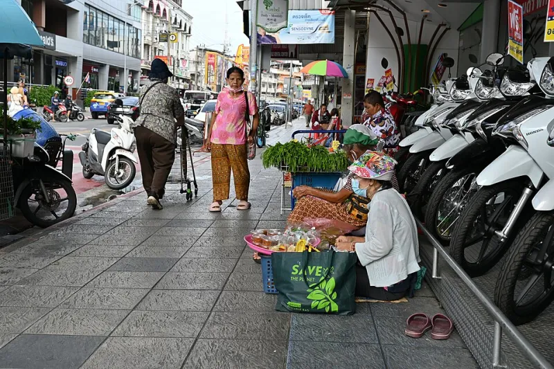
Photo: PattayaPatrol, CC BY-SA 4.0, via Wikimedia Commons
Somewhere in a suburb outside Columbus, Ohio, there's a dirt path worn through the grass between a bus stop and a Walmart. No one planned it. No one budgeted for it. A landscape architect didn't specify the exact curve of it in a set of construction drawings. It exists because hundreds of people, arriving at that bus stop with bags to carry and nowhere else to walk, simply walked the most direct route to where they were going. Again and again, until the grass gave up.
Urban planners have a name for these routes: desire lines. And they might be the most honest form of urban design in existence — created not by what a city thinks people should do, but by what people actually do when the official infrastructure fails them.
Right now, across car-centric America, something is happening with these informal paths. People aren't just wearing them quietly into the landscape anymore. They're organizing around them, documenting them, and using them as leverage to demand better.
The Geometry of Stubbornness
The physics of desire lines are simple: people walk the shortest reasonable path between two points. When official infrastructure — sidewalks, crosswalks, pedestrian signals — provides that path, foot traffic follows it. When it doesn't, foot traffic goes anyway, just somewhere less convenient for everyone involved.
In practice, this creates a constant low-level negotiation between the built environment and the people moving through it. Every worn shortcut across a lawn is a small vote cast against whoever designed the space. Every muddy track through a vacant lot is a petition with no signature line.
What's changed recently is that walkers are starting to understand their collective power in this negotiation. And they're getting organized.
Walking Groups as Political Acts
In Gwinnett County, Georgia — one of the most sprawling, car-dependent suburbs in the American South — a group of residents started organizing regular walks along routes that were technically legal but practically hostile: arterial roads with narrow or nonexistent shoulders, intersections with crosswalk signals timed for cars rather than people, stretches where a quarter mile of continuous walking required crossing eight lanes of traffic.
They weren't protesting exactly. They were just... walking. But they were doing it in groups, on a schedule, and they were documenting every near-miss, every missing curb cut, every intersection where the walk signal ran for eleven seconds while the crossing took thirty. They posted the footage. They showed up to county commission meetings. They brought the documentation.
Within two years, several of the most dangerous intersections on their regular routes had received safety upgrades. The crosswalk timing got adjusted. A half-mile stretch of missing sidewalk made it into the county's capital improvement plan.
This is tactical urbanism in its most accessible form. No design degree required. No grant funding. Just people walking where they have every legal right to walk, making the problems visible by being present in them.
Parking Lots and the Art of the Cut-Through
Park yourself near any large American parking lot for an hour and watch what pedestrians do. They almost never walk the routes the lot's designers assumed they would. They cut diagonals across empty spaces, hug the edges of the pavement where it's slightly less hostile, and find the gaps in medians and curbs that allow them to move between properties without walking an extra quarter mile to the official entrance.
In some cities, these informal pedestrian networks through commercial strips are more extensive than the sidewalk system that officially serves the area. They're just invisible on any map.
A loose coalition of urban walkers in Houston — a city legendarily indifferent to pedestrian infrastructure — spent several months in 2022 and 2023 mapping exactly these informal routes along one of the city's major commercial corridors. They published the results as a walking guide, annotating each informal path with notes on pavement quality, shade, and the approximate number of people who appeared to be using it regularly.
The guide went modestly viral in local planning circles. The city has since referenced the documentation in a corridor study. The informal paths are now part of an official conversation about where sidewalk gaps most urgently need closing.
The Stroller Test and Other Pedestrian Metrics
One of the most effective rhetorical moves in grassroots pedestrian advocacy is the stroller test: take a route that a city has implicitly declared acceptable for pedestrians and walk it with a stroller. Or a wheelchair. Or while carrying groceries. Or while elderly.
The results are usually instructive. Sidewalks that seem passable to a solo adult in good health reveal themselves as obstacle courses the moment you add any complicating factor. Curb cuts that are technically present turn out to be angled in ways that dump a stroller into traffic. Crosswalk islands that are supposed to provide refuge are too narrow for a wheelchair to complete a turn.
Parent groups in suburbs across the Sun Belt have been running informal versions of this test for years, often without thinking of it as advocacy. They're just trying to walk their kids to school without dying. But the documentation they've generated — videos posted to neighborhood Facebook groups, photos shared in NextDoor threads — has become raw material for transportation advocates making formal arguments to city councils.
In Chandler, Arizona, a group of parents documenting their school walk route ended up producing a dossier that the city used to prioritize a sidewalk gap closure that had been on the books, unfunded, for over a decade.
When the Path Becomes the Proposal
Here's what city planners have slowly, grudgingly come to acknowledge: desire lines are free user research. They tell you, at zero cost, exactly where pedestrian infrastructure is needed. The worn path through the grass is a citizen survey with a 100% response rate from the people who actually use the space.
Some cities have started treating them that way explicitly. When planners in a Minneapolis suburb noticed a persistent dirt path cutting across a park to a transit stop, instead of reseeding the grass for the fourth time, they paved it. When Seattle identified a cluster of informal pedestrian crossings on a busy arterial, they used that data to prioritize where to add formal crosswalks.
It's a modest shift, but it represents something important: an acknowledgment that pedestrians, through the simple act of walking, generate legitimate design intelligence.
You Are the Experiment
If you're a regular walker in a car-centric American city — and statistically, if you're reading this site, you probably are — you're already part of this. Every time you walk a route that wasn't built for you, you're generating data. Every time you choose the shortcut through the parking lot over the half-mile detour to the official crosswalk, you're casting a vote.
The question is whether you're doing it alone or in community. Walking groups, documented routes, shared photography of hostile infrastructure — these transform individual acts of stubbornness into collective arguments that planning departments can't as easily ignore.
The city wasn't built for you. Walk it anyway. Walk it loudly. Walk it with other people. And when you wear a path through somewhere that didn't have one, consider that you might be drawing the map of what comes next.